8/10/17
By definition the Salish Sea includes the inland waters of
Washington and British Columbia that are primarily connected to the Pacific
Ocean tidal circulation via the Strait of Juan de Fuca. We have now travelled north of that general
boundary and the currents and tides of the waters we float on communicate with
the Pacific Ocean via Queen Charlotte Strait.
Salish Aire was named to carry the legacy of her home port wherever she
travels and now she has officially started on that journey. While we were walking around Sidney BC we
poked our heads into the local aquarium and found a great book explaining the
Salish Sea which we bought to show folks we meet during our travels about this
fascinating area.
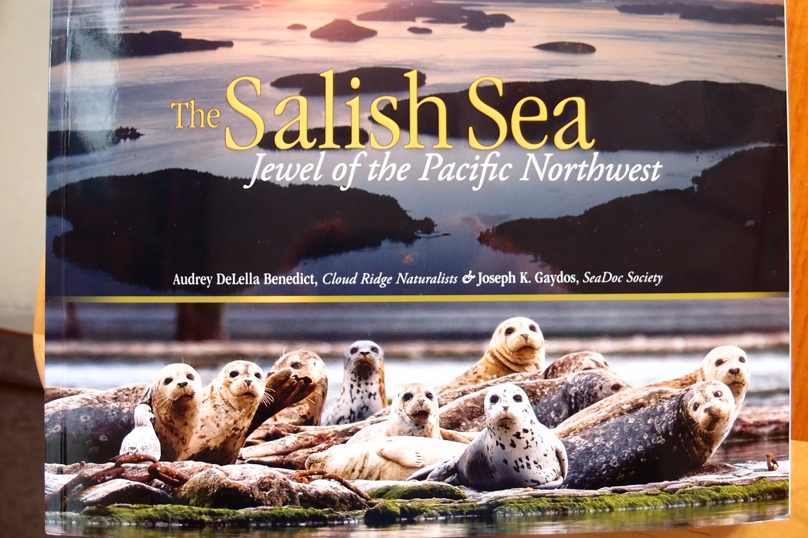 |
| A great book telling the story of the Salish Sea |
 |
| Map of the Salish Sea |
We have heard many many questions about our specific plans
for our travels. We are purposefully
keeping those plans to a minimum. In
doing our book learning in preparation for this journey one message has been
repeated over and over by experienced cruisers which is that over-planning and
over-scheduling is the fastest way known to get yourself into trouble. Experienced cruisers study the weather
carefully and let nature determine when they will leave port rather than
letting a date on the calendar make those choices. In our case, we have a lot to learn about
handling the boat and our own capabilities.
We know that the boat will cross an ocean but we doubt our own readiness
at this point.
The plans we have made are to head north to SE Alaska with
the plan of staying over in a port (likely Sitka) for the winter. We had hoped
to meet up with friends from Everett as they headed south from their summer
expedition to Glacier bay and we were able to meet them 2 days ago in the
Octopus Islands where we are currently anchored. We had also planned to move fairly quickly
north until we were north of the common “Desolation Sound” cruising area which
has its northern psychological boundary about where we are now. From here north we have only visited once
before in 2000 and have looked forward to taking time to enjoy at a slower
pace.
Likely one of the big reasons that the boats from the Salish
Sea tend to start thinning out from here north is that the tidal challenges
become significant. One of the
challenges of boating in this part of the world is learning to live with
nature’s tidal exchanges which in some areas create rapids that have put many a
boat on the rocks through the ages. Now
we have the advantage of very carefully studied and calculated tidal guide
books that tell us when the twice daily rise and fall of the tides changes
direction and thus creates windows when the waters in the narrow spots are
quiet and safe to transit. We have spent our entire boating careers living with
these facts of Salish Sea boating life so while we find the challenges to be
inconvenient at times we just follow the rules set by the sun and the moon and
recognize that a big part of the diversity of life in these waters only exists
because of the mixing of waters providing the nutrients to drive a complex food
chain. Boaters from around the world
tend to think highly of boaters from this part of the world because of our
comfort with the moving waters and even local boaters shy away from the fastest
rapids which leads to less crowded boating the further north we travel.
 |
| Tug and log boom working the tidal currents |
So far we have transited tidal rapids in Deception Pass
Washington, Dodd Narrows BC just south of Nanaimo, and Surge Narrows so that we
could get to our present location in the Octopus Islands. After having a
wonderful day yesterday visiting with our friends and Kayaking and Hiking to a
mid-island lake we plan to leave today when nature says it is OK. Today we plan to move north and east so we
can go the “back route” and avoid Seymour Narrows but in order to do so we have
to travel through a number of
challenging tidal rapid areas. Our first
encounter will be with the rapids at both ends of Hole in the Wall channel and
then we will turn north toward the Yaculta rapids group. So far it looks like we will need to wait the
six hours between slack times in order to make it to our planned anchorage for
tonight as the timing of slack waters doesn’t allow for travel from one narrows
to the next at our speed.
 |
| Eric and Michelle on Secret Beach headed south after a summer going up the Inside Passage |
 |
| A hazy sunrise thanks to forest fire smoke |
 |
| Octopus Islands Anchorage |
 |
| Heading out of the Octopus Islands |
8/12/17
We are currently in Johnstone Strait which can be a really
nasty piece of water if the tide is against the wind or a very pleasant place
to travel as it is this morning. We were
able to get through the final 3 tidal rapids yesterday after managing to creep
through the Yaculta group at 3.5 knots over ground (while doing about 9 knots
over the moving water) just after slack but before the full fury of the rapids
had built the day before. All of this moving water has meant that our expected
3 nm / gallon of fuel has instead been just over 1 nm / gallon as it seems that
we keep moving up current – until today when we are finally in-sync with the
tide as it ebbs north instead of south during the first half of the day. We are
currently moving at 8 kn over ground and 6.9 kn over water so nature is giving
us a “free” extra mile every hour. We
started the day on mirror smooth water but in thick fog. As we have moved from
the side channels into Johnstone Strait proper the fog lifted a bit so we didn’t
have to be totally dependent on radar an AIS (location information broadcast by
some, but not all boats). As we have
moved north the fog bank has kept ahead of us so we have had good visibility
most of the day.
Speaking of visibility, we seem to finally have moved north
of the smoke from the BC forest fires.
Last night Jarvis decided he needed to visit his pee-poop pad at 2 AM
but it did mean that I was awake to see the moon and the stars for the first
time without a haze of smoke.
 |
| In the heavy fog we could see our own bow and not much more |
 |
| Both radar units and the AIS transmissions from other boats become our "eyes" and we listen carefully for horns or engine noise |
 | |
The fog begins to lift just a bit |
 |
| Finally able to see ships visibly we had been watching electronically |
 |
| Chasing fog up Johnstone Strait |
 |
| Fog off the bow but clear looking south down Johnstone Strait |
Folks often ask if we are tied up every night or anchored –
the answer is we do both. As we are
trying to learn to live on a much more limited budget we are taking advantage
of low cost opportunities to be at docks when they are available as it makes it
much easier to get to shore otherwise we anchor out which has the advantage of
(usually) being very peaceful and private.
Low cost dock opportunities so far have included using yacht club
reciprocal moorage (usually about $5/night for power), using public /
commercial wharfs (about $40 USD / night in Comox), and a complimentary night
as we chose to use the unmaintained outer dock at Morgan’s Resort (which was
only a couple of hundred yards from the VERY expensive docks at Dent Resort
(reported to be $4/ft so about $200/night for a boat our size and with the
expectation that you get dinner at $125/plate!)
The weather has cooperated being in the upper 70’s during
the days and just cool enough at night for Clarice to sleep well with the
overhead hatch open.
 |
| Our very inexpensive moorage looking at the transoms of Dent Resort |
Entertainment consists of watching the scenery, walking on
trails through the forests (which lets Jarvis’ inner Jack Russell come out as
he runs full speed up the trail to find the next “nose candy” and then sniffs
for a bit before taking off again), swimming in a lake, checking out a harbor’s
nooks and crannies in either the dingy or paddling in kayaks, reading books, watching the British TV series “Last
Tango in Halifax”, catching up on business and pleasure email when we have
cellular service, and doing boat maintenance.
Boat maintenance ranges from the basics of checking the engine room
periodically for any signs of trouble to rebuilding another section of the
pilot house panels, to learning how our electrical gauge system is designed to
work (and how I need to change it so it works with the current battery and
solar configuration). All in all Clarice
and I keep fairly busy between driving the boat (which can be anything from
very intensive in a high current area or high traffic area to really boring
when the auto-pilot is keeping us on course without much human help required
and all stages in between).
 |
| Making blackberry cheesecakes for desert |
 |
| Drying laundry |
 |
| New facings for the radar and SSB radio - Old gray Formica under the chart plotter |
 |
| Next area to be refaced with holes from retired gauges (ladder, plug and key chain to the left get hung in front of chart plotter as reminders that our ladder is in the water and shore power connected.) |
So far we have happened into a festival and fireworks show
in Comox, met up with our good friends Eric and Michelle as they headed south
from Alaska, had a quick radio conversation with some Nordhavn friends as they
headed south through Dent Rapids and we headed north, had a pleasant visit with
some other Nordhavn friends while we waited at Shoal Bay Resort for the slack
to occur for our next rapids transit, in addition to people we just meet on the
way who have a common interest in boats and nature. We have heard over and over from long term
cruisers that you are never out of touch with friends for too long as you will
often run into someone you know at the next port. We are certainly finding this to be true.
 |
| Our friend David passed us in Mary Pearl just as we were about to go to press |
As far as adapting goes, we are now 1 week into official
retirement. To say that we haven’t felt
a bit of stress would be untruthful. A
couple of days ago Clarice and I found ourselves grouching with each other over
things that normally we just let go. We
took a minute and reflected on all of the changes and stressors over the past
month as we had the kids visiting, and were finalizing employment, and mail,
and insurance, etc. issues on top of moving to a whole new lifestyle and agreed
that while being grouchy was not fun it was to be expected.
I hope to post this today as we plan to stay in port at
Alert Bay where I have really nice memories of a First Nations museum from our
last visit in 2000. We had planned to spend time in the Broughton Islands but
it looks like we have a nice weather window for crossing Queen Charlotte Sound
if we keep moving north so our plans have been adjusted accordingly.
No comments:
Post a Comment